In questa sezione presentiamo alcune carte geografiche storiche conservate presso la Biblioteca di Geografia e il Museo di Geografia dell'Università di Padova, il primo museo del suo genere in Italia dedicato alla Geografia. Il suo patrimonio è stato recentemente arricchito in modo considerevole dalla generosa donazione di Armando Morbiato, che è andata a costituire la Collezione Morbiato.
Le carte storiche sono state selezionate e analizzate da Chiara Gallanti, conservatrice del Museo di Geografia, e da Chiara Forner e Marco Napolitano, studenti di Storia. Ad esse sono da attribuire anche le schede delle mappe. Per qualsiasi riferimento o citazione, si prega di attribuire la paternità a Chiara Gallanti, Chiara Forner e Marco Napolitano.
Tutte le immagini sono concesse in licenza Creative Commons CC-BY-NC-SA 4.0 License.
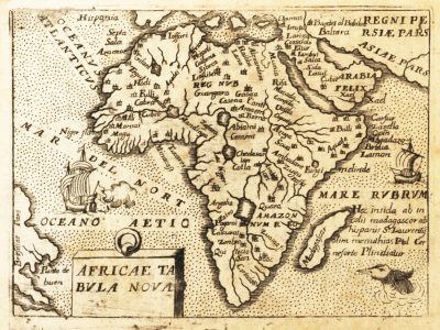
Africae tabula nova
Africa
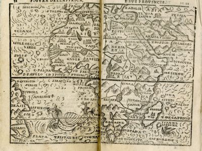
Figura dell’Affrica e sue provincie
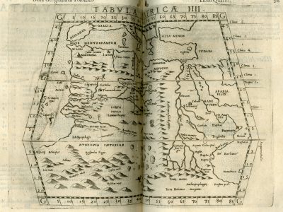
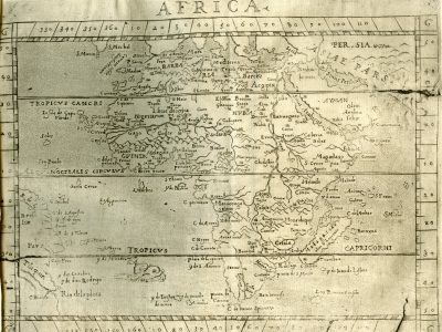
TABVLA AFRICÆ IIII
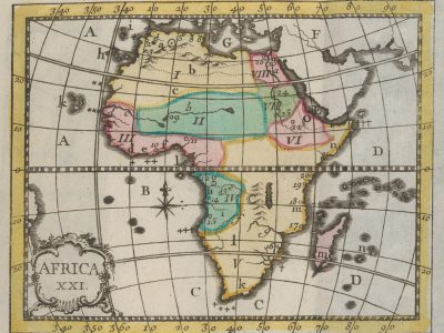
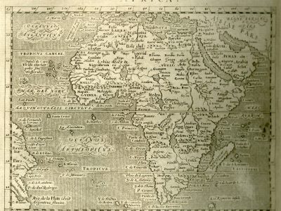
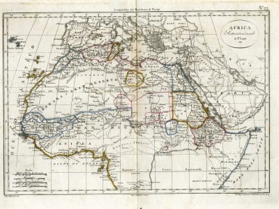
Africa XXI
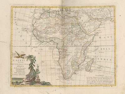
L’Africa divisa ne’ suoi principali Stati, di nuova projezione
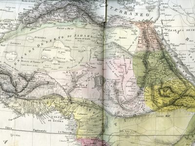
Africa settentrionale