In questa sezione presentiamo alcune carte geografiche storiche conservate presso la Biblioteca di Geografia e il Museo di Geografia dell'Università di Padova, il primo museo del suo genere in Italia dedicato alla Geografia. Il suo patrimonio è stato recentemente arricchito in modo considerevole dalla generosa donazione di Armando Morbiato, che è andata a costituire la Collezione Morbiato.
Le carte storiche sono state selezionate e analizzate da Chiara Gallanti, conservatrice del Museo di Geografia, e da Chiara Forner e Marco Napolitano, studenti di Storia. Ad esse sono da attribuire anche le schede delle mappe. Per qualsiasi riferimento o citazione, si prega di attribuire la paternità a Chiara Gallanti, Chiara Forner e Marco Napolitano.
Tutte le immagini sono concesse in licenza Creative Commons CC-BY-NC-SA 4.0 License.
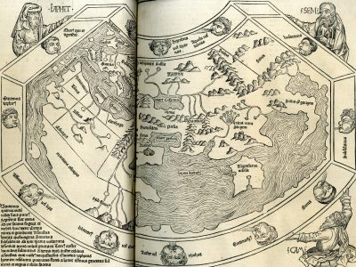
Secunda etas mundi
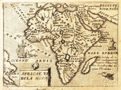
Africae tabula nova
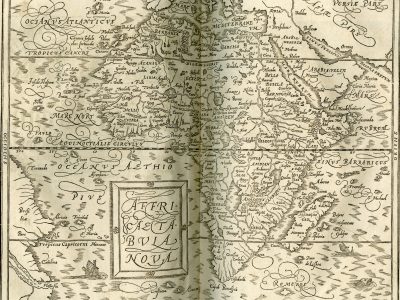
Affricae tabula nova
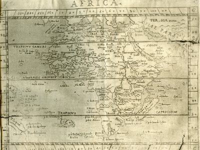
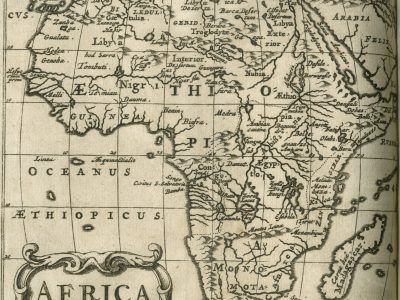
Africa
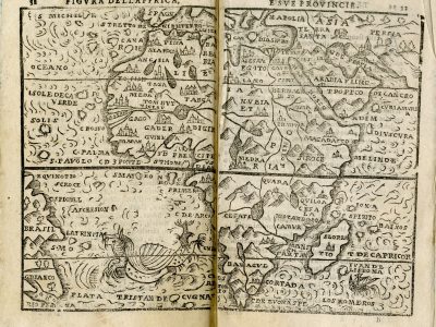
Figura dell’Affrica e sue provincie
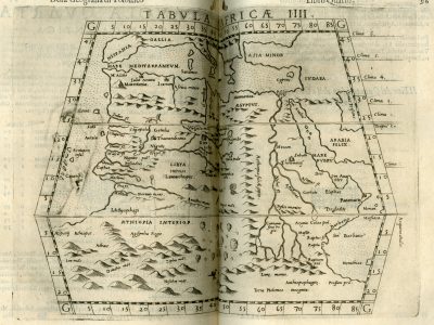
TABVLA AFRICÆ IIII
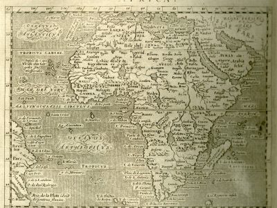
Africa
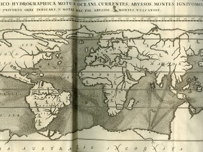
Tabula geographico-hydrographica
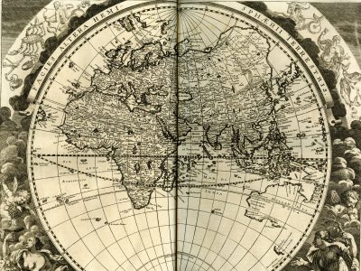
Facies altera hemispherii terrestris
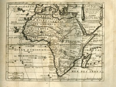
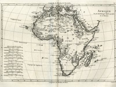
L’Afrique
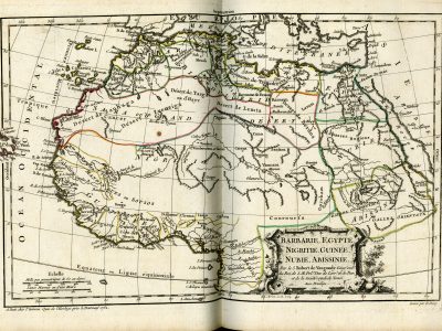
Barbarie, Egypte, Nigritie, Guinee, Nubie, Abissinie
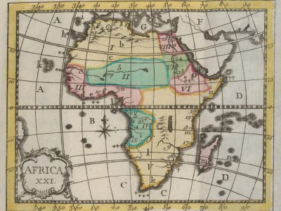
Africa XXI
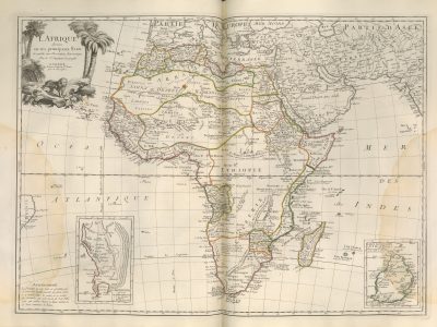
L’Afrique divisée en ses principaux Etats
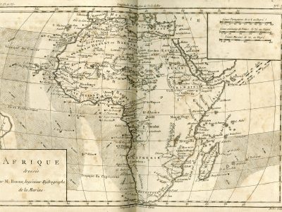
Afrique dressée par M. Bonne
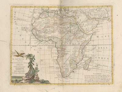
L’Africa divisa ne’ suoi principali Stati, di nuova projezione
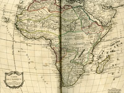
Carte de l’Afrique
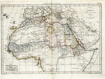
Africa settentrionale
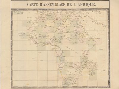
Carte d’assemblage de l’Afrique
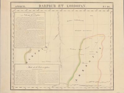
Darfour et Kordofan
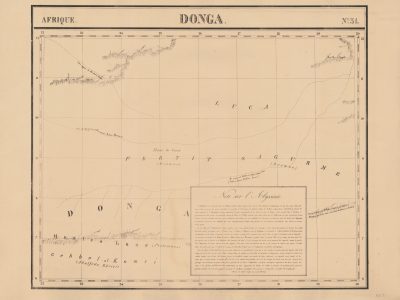
Donga
L’Africa divisa nelle sue principali regioni