AtlaSahel
Changes over time and space
Latest News
All news
The project
This website presents the in-progress results of a research network that has consolidated over time, starting with an initial nucleus of geographers from the University of Padua, and then expanding to other research institutions such as the University of Milan and CEDEJ-Khartoum, and to other disciplines such as anthropology, political and social studies, urban planning, and history.
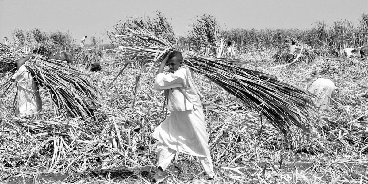
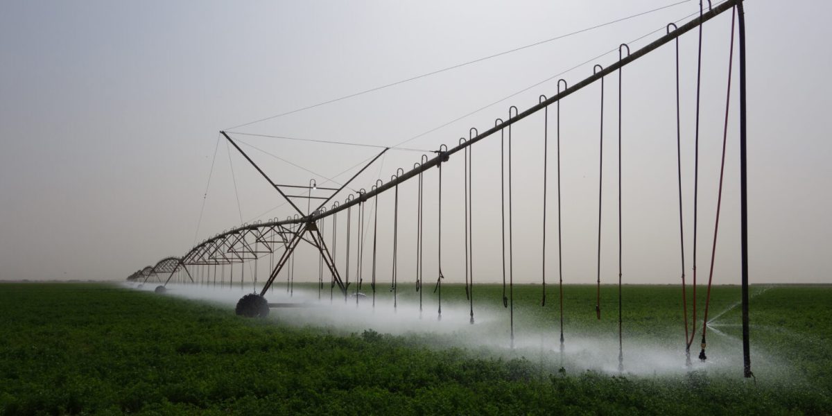
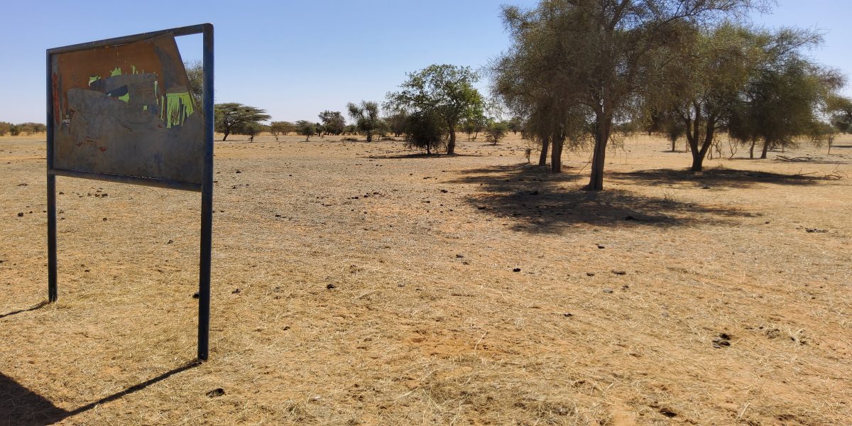
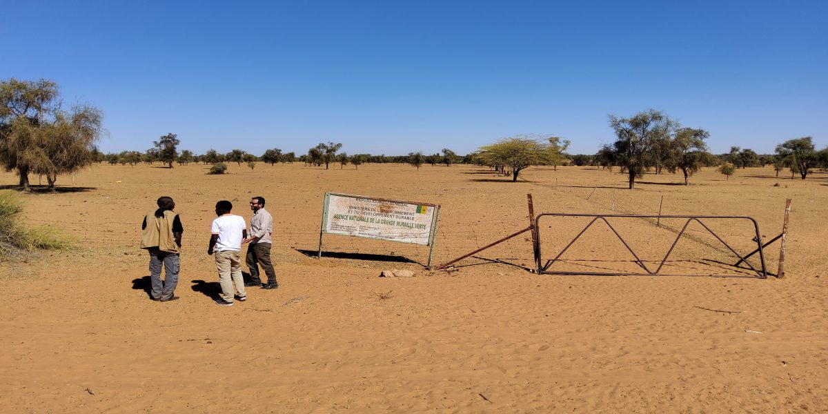
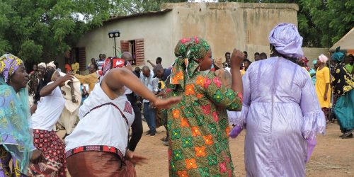
The research network aims to interpret the dynamics of water and land management in the Sahel. Sahelian wetlands, both natural and artificial, and areas of seasonal flood expansion such as large irrigation projects, have undergone multiple crises - ecological, socio-economic, political and organisational: understanding the underlying movements triggered by these crises is essential for attempting to interpret the territorial changes taking place in the region.
The research network uses a dual approach: ‘from above’ and ‘from below’. Remote sensing and the analysis of ‘big data’ make it possible to imagine an alternative mapping of the Sahel. Information gathered on the ground feeds and interrogates maps and interpretative hypotheses. The diversity of methodologies facilitates dialogue between the different scales of analysis.
Fundamental is the contribution of researchers living in the Sahel, who are able to offer first-hand news, continuously updated, and above all a different point of view, deeply anchored in the different contexts of study.
The website provides an open-access platform for sharing the research network's analyses and a space for a dynamic discussion on the Sahel and the use of water resources in the arid zones of sub-Saharan Africa.
The website was developed under the frame of the PRIN 2017 project ‘Contested wetlands in Sahelian drylands: Which kind of development and for whom?’ (2017B4JBWN) and the frame of PRIN 2022 project, financed by the European Union - NextGenerationEU, ‘Socio-Environmental Crises and Local Responses in African Drylands: Lessons from the Global South (SECA)’ (2022CZZXZS).